
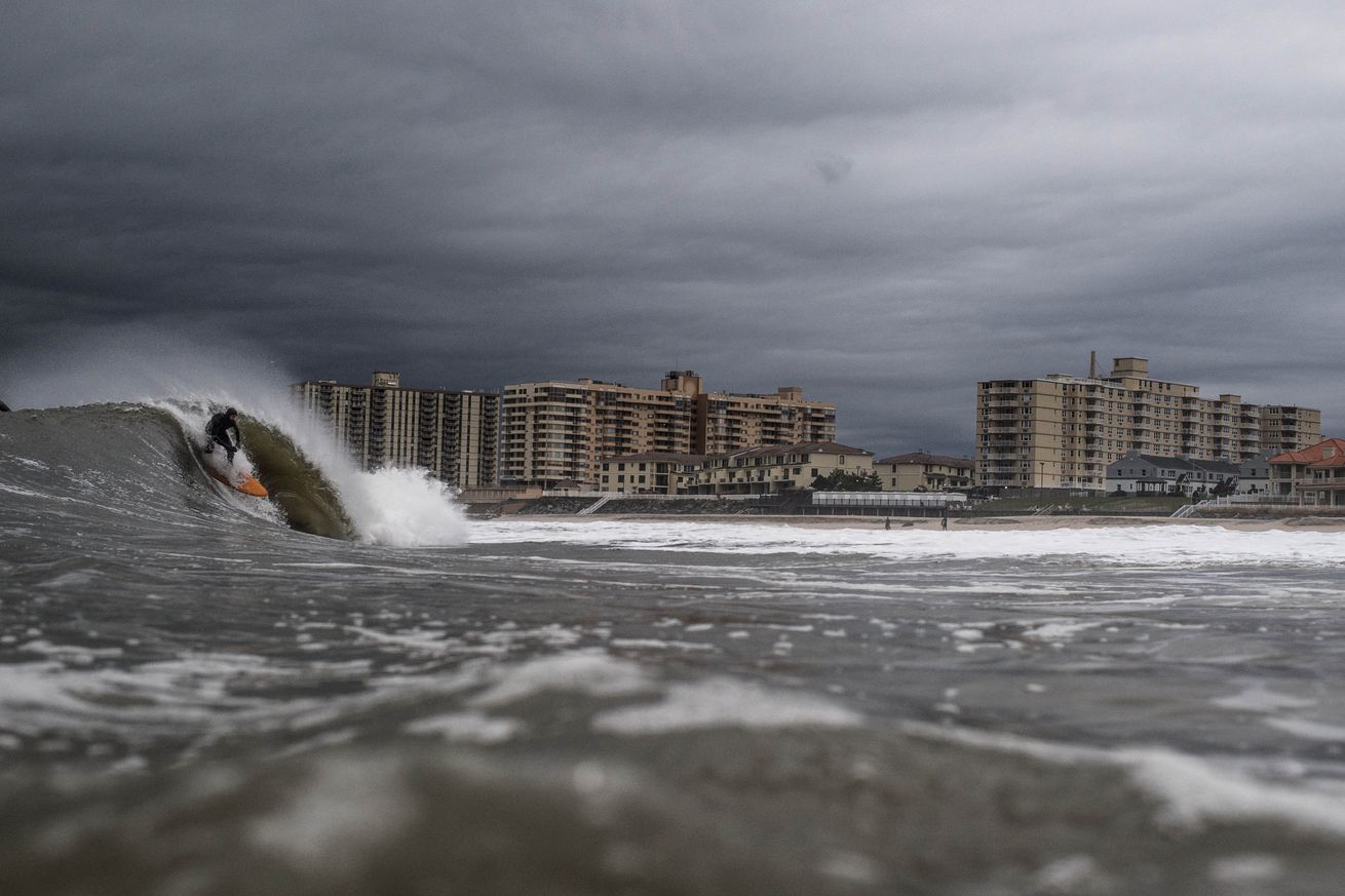
On Tuesday morning, phones across the US East Coast, Gulf of Mexico, and in the Caribbean buzzed with a false alarm about a potential tsunami. The warning was a mistake — the result of a technical glitch — but the prospect of a tsunami striking New York City or New Orleans raises the question: how likely is a tsunami in these parts of the US, anyway?
Tsunamis can form when powerful quakes jiggle the seafloor up and down. The magnitude 9 earthquake that struck Japan in 2011, for example, generated waves over 124 feet high. “That’s the monster,” says Chris Popham, lead oceanographer with NOAA’s National Tsunami Warning Center. “That’s the thing we’re most worried about, and the potential for that exists in any number of spots around the Pacific.”
A similarly massive quake is less likely in the Atlantic Ocean, Popham says. But that doesn’t mean the risk of a tsunami is zero. Underwater avalanches and volcanoes can also move enough water to generate the powerful waves of a tsunami.
To understand why, it helps to imagine the Earth’s crust fitting together like a jigsaw puzzle, and each of the pieces is called a tectonic plate. When plates sliding past each other get stuck, they can build up stress until they finally rupture — causing an earthquake. The earthquakes especially prone to producing tsunamis are the ones that occur where an oceanic plate scoots underneath a continental plate, called a subduction zone.
Unlike the Pacific Ocean, there aren’t any major subduction zones in the Atlantic except the ones underneath the Caribbean Sea. So there are fewer quakes that could generate dangerous tsunamis that would threaten the East Coast. And in the Gulf Coast, none of the tsunamis in recorded history were more than 3.3 feet (1 meter) tall.
Massive underwater avalanches that send sediment and debris tumbling down submarine slopes, however, are a possible source of dangerous tsunamis along the eastern edge of North America, Live Science reported in 2012. The bigger the avalanche, the bigger the waves. In 1929, for example, an earthquake off Canada’s east coast triggered an underwater landslide that shifted nearly 50 cubic miles (200 cubic kilometers) of rocks and sediment. That avalanche, in turn, generated powerful waves reaching 10 to 26 feet (3 to 8 meters) high that struck the coast of Newfoundland — killing 28 people.
The Caribbean is a different story because there’s a subduction zone right beneath the Caribbean Sea, according to the US Geological Survey. Quakes in this region are especially dangerous because they occur close to shore — which means that if the quake produces a tsunami, people have very little time to escape. A magnitude 7.5 quake off the coast of Puerto Rico in 1918 generated waves reaching nearly 20 feet (6 meters) high‚ killing at least 91 people.
So, there is a risk that a tsunami could hit the US — and not just along the Pacific. That’s why the tsunami warning system run by the US National Oceanic and Atmospheric Administration is so key, and why it’s important to test it out. “The Pacific has a greater risk than the East Coast,” Popham says. “But you absolutely can’t say it’s non-zero.”
from The Verge - All Posts http://ift.tt/2GTuXR6
The Cyber Hacker - website covers tutorials on cyber security, latest tech news, Linux & Ubuntu, programming, internet & computer hacking, how to guides, safety guides, and fixes to every day computer/internet problems. Enjoy Learning with The Cyber Hacker!
ConversionConversion EmoticonEmoticon